Arctic Blast Set to Bring Significant Snowfall and Dangerous Conditions Across Oklahoma
artic blast
Arctic Blast Set to Bring Significant Snowfall and Dangerous Conditions Across Oklahoma
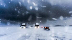
Oklahoma residents should prepare now as a powerful Arctic blast is expected to impact the state beginning Friday, bringing widespread winter weather, hazardous travel conditions, and the potential for heavy snowfall in some areas. Forecast models indicate that parts of Oklahoma could see 4 to 8 inches of snow, with localized totals potentially reaching up to 14 inches, depending on how the storm system evolves.
Meteorologists are urging residents to stay alert, plan ahead, and monitor updates closely as this multi-day winter event unfolds.
Warm and Windy Before the Winter Hits
Ahead of the Arctic front, Oklahoma will experience relatively mild but potentially hazardous conditions. Thursday afternoon is expected to be sunny, with south winds gusting up to 20 mph. Despite temperatures climbing into the upper 40s and near 50 degrees, the combination of wind and low humidity may elevate fire danger, particularly in western and central parts of the state.
Thursday night will bring clear skies and falling temperatures, dipping into the low 30s near the freezing mark. By Friday morning, winds will shift to the north as colder air begins to move in, setting the stage for winter precipitation later in the day.
Friday: Transition Day as Winter Weather Develops
Friday will be the critical transition day. Most areas should remain dry early in the morning, although isolated pockets of rain or a brief winter mix cannot be ruled out. As the day progresses, impacts are expected to increase significantly.
By Friday afternoon and evening, snow will become more widespread across much of Oklahoma, while southern portions of the state may experience a wintry mix of sleet and freezing rain. Forecasters are watching the sleet and snow line closely, as even central Oklahoma could see periods of sleet mixed with snow.
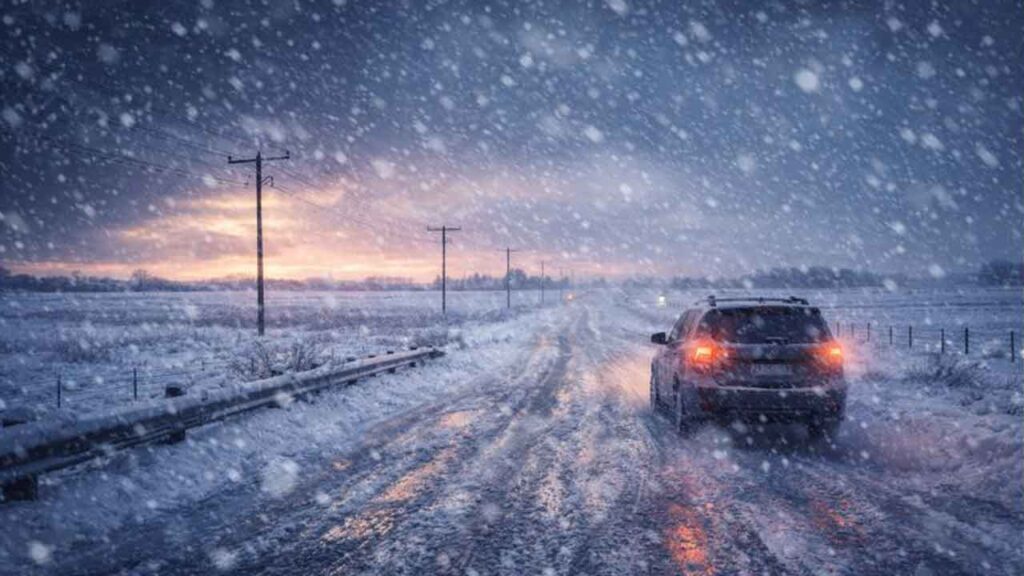
Road conditions are expected to deteriorate rapidly once precipitation begins, especially in areas where ice forms before snow accumulation. Drivers are encouraged to limit travel if possible and be prepared for rapidly changing conditions.
Friday Night Through Saturday: Snow Intensifies
The most impactful portion of the storm is expected Friday night through Saturday. During this time, colder air will fully settle across the region, allowing snow to accumulate efficiently.
Snowfall may occur in multiple waves, with steady snowfall at times and lighter snow in between. Forecasters note that the snow may be dry and powdery, which can lead to drifting—particularly in open and rural areas where winds remain elevated.
Accumulations of 4 to 8 inches are currently projected across a large portion of the state, though meteorologists stress this is a range, not a guarantee. In winter forecasting, even small shifts in storm track or temperature can result in higher or lower totals.
Some areas, especially in northern and central Oklahoma, could see higher localized totals, while southern Oklahoma may see lighter snow but face greater risks from ice accumulation, which poses a serious threat to road safety.
Ice Threat in Southern Oklahoma
While snow will be the dominant precipitation type for much of the state, freezing rain and sleet remain a concern for southern Oklahoma and areas closer to the Texas border. Ice-covered roads are significantly more dangerous than snow-packed roads, as traction becomes nearly impossible.
Officials caution that even small amounts of ice can lead to power outages, downed tree limbs, and impassable roadways. Residents in southern counties should prepare for the possibility of prolonged hazardous conditions.
Bitter Cold Keeps Snow on the Ground
Saturday will be bitterly cold, with high temperatures only reaching the teens in many locations. These frigid conditions mean that snow and ice will not melt quickly, prolonging impacts into the weekend.
Snowfall is expected to gradually taper off by Sunday morning, with dry air moving in behind the system. By Sunday afternoon, the storm should largely be over, though lingering snow cover and icy patches may persist.
Travel and Safety Preparedness
With Alert Days issued for Friday and Saturday, Oklahomans are encouraged to take this storm seriously. Key safety steps include:
-
Avoid unnecessary travel during the height of the storm
-
Keep emergency supplies in vehicles, including blankets, water, and food
-
Charge electronic devices ahead of time
-
Check on elderly neighbors and those with limited mobility
-
Stay informed through trusted weather updates and local emergency alerts
Even moderate snowfall can have major impacts once roads become slick, and drifting snow may reduce visibility quickly in rural areas.
Stay Informed as Forecasts Update
While confidence is increasing in a significant winter weather event, meteorologists emphasize that details will continue to evolve. Snow totals, ice placement, and timing could still change as the system approaches.
Residents are urged to check updated forecasts frequently and prepare now to minimize risk. This Arctic blast has the potential to be one of the more impactful winter storms of the season for Oklahoma, and early preparation will make all the difference.
#OklahomaWeather #ArcticBlast #WinterStormAlert #OKWX #Snowstorm